Introduction
In the world of modern technology, 3D modeling has revolutionized the way we visualize and interact with objects. One of the most fascinating applications of this technology is in creating detailed and accurate representations of geographical regions.
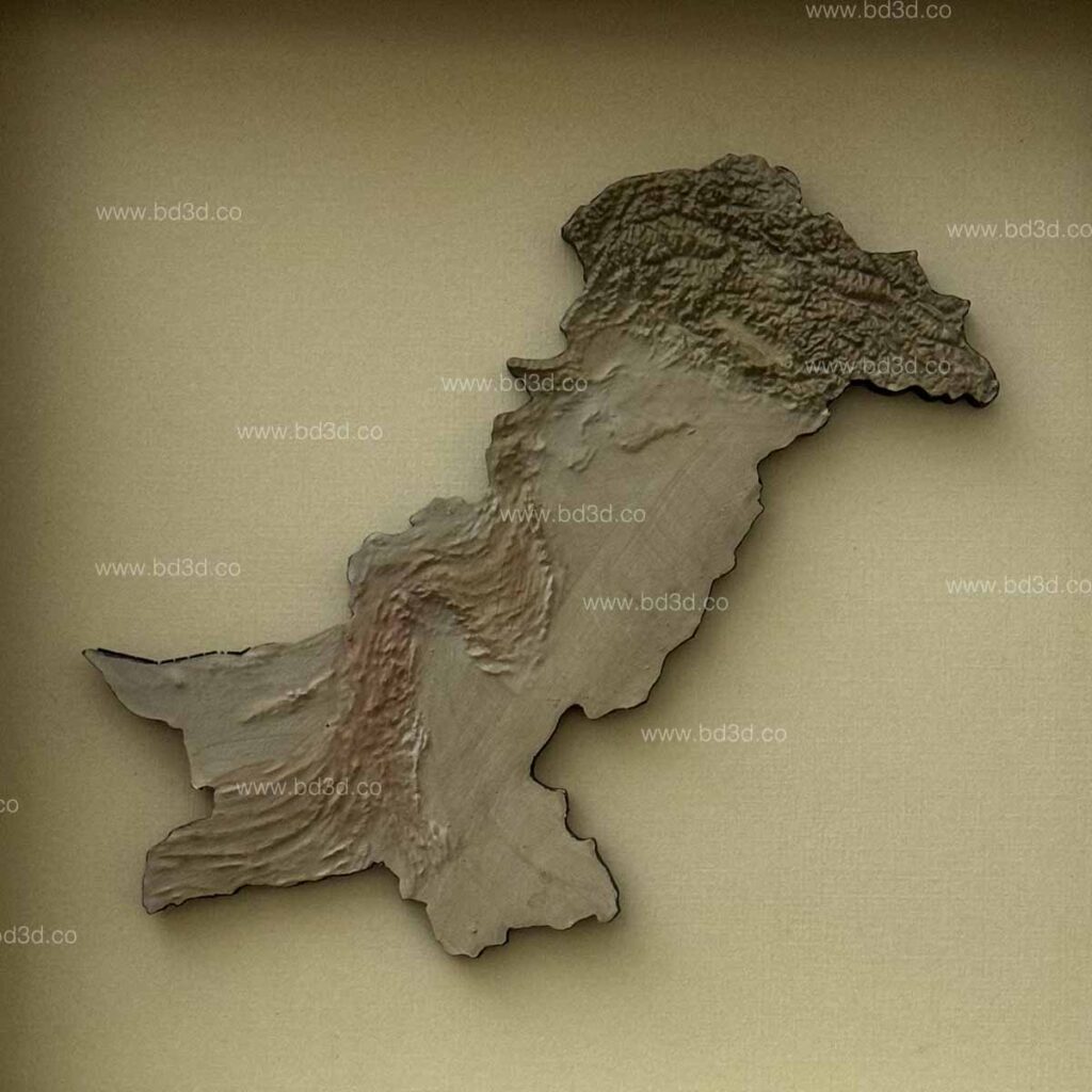
BD3D, a pioneer in 3D modeling, has embarked on an ambitious project to create a 3D printed model of the official map of Pakistan. This innovative project not only showcases the advancements in 3D printing technology but also provides a unique tool for education, tourism, and various industries.

The Art of 3D Modeling
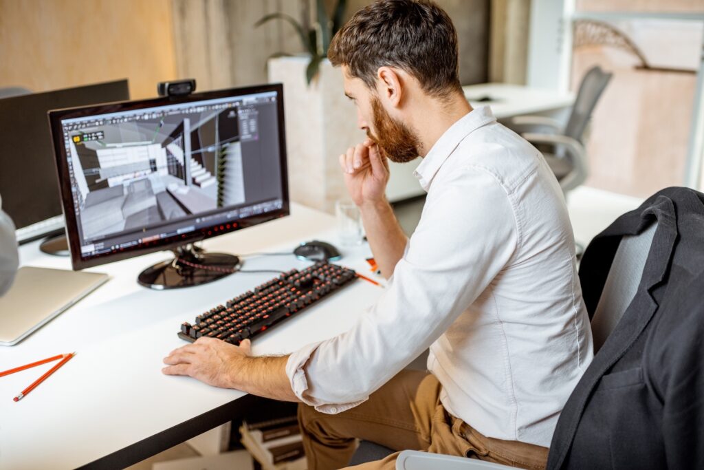
3D modeling is the process of creating a three-dimensional representation of any object or surface. This 3D model is crafted using specialized software that allows designers to meticulously shape, texture, and color their creations. The resulting models can be used for a variety of purposes, from virtual simulations to physical prototypes.
In the case of BD3D Company’s Pakistan Official Map, the technology has been harnessed to create a tangible, detailed, and accurate 3D representation of the country.
The Vision Behind the Pakistan Official Map
BD3D Company’s vision for the Pakistan Official Map was to create a 3D model that is not only accurate but also aesthetically pleasing and functional. The goal was to produce a tool that could be used for educational purposes, helping students and researchers understand the geographical diversity and complexity of Pakistan.
Additionally, the model serves as a stunning piece of art that can be displayed in homes, offices, and public spaces, promoting national pride and cultural heritage.
The Process of Creating the 3D Map

- Data Collection: Accurate geographical data is the foundation of any good map. BD3D collected topographical data from various sources, including satellite imagery, geographical surveys, and official records. This data was essential to ensure that every mountain, river, and valley was accurately represented.
- 3D Modeling: Using advanced 3D modeling software, the team at BD3D translated the collected data into a digital model. This process required careful attention to detail to ensure that the scale and proportions were accurate. The software allowed the designers to manipulate the model, adding textures and colors to enhance its visual appeal.
- 3D Printing: Once the digital model was finalized, it was time to bring it to life using 3D printing technology. The printing process involved layering materials, such as plastic or resin, to build up the model. BD3D Company utilized high-resolution printers to ensure that even the smallest details were captured.
- Finishing Touches: After printing, the model underwent a series of finishing processes. This included sanding, painting, and adding any additional features to enhance its realism. The final product was a stunning, detailed 3D printed map of Pakistan.
Features of the Pakistan Official Map
- High Precision: The 3D map is created with high precision, ensuring that every geographical feature is accurately represented. This makes it an excellent tool for educational purposes, allowing users to study the country’s topography in detail.
- Detailed Texturing: The 3D map features detailed texturing that adds to its visual appeal. Mountains, rivers, and plains are all depicted with realistic textures, making the map not just a tool but a piece of art.
- Durability: Made from high-quality materials, the 3D printed map is durable and long-lasting. It can be displayed in various settings without the risk of damage.
- Customizable Options: BD3D offers customizable options for the map. Users can choose different sizes, colors, and finishes to suit their needs and preferences.
Applications of the 3D Printed Map
- Education: Schools and universities can use the map as a teaching aid. It provides a tangible way for students to learn about Pakistan’s geography, enhancing their understanding through visual and tactile interaction.
- Tourism: The map can be used by tourism boards and travel agencies to promote Pakistan’s diverse landscapes. It serves as a captivating display that can attract tourists and provide them with a better understanding of the country’s geography.
- Corporate and Public Spaces: Corporations and public institutions can display the map in their offices and lobbies as a symbol of national pride. It serves as an impressive decorative piece that also carries educational value.
- Home Decor: Individuals can use the map as a unique piece of home decor. It adds a touch of sophistication and cultural significance to any living space.

The Future of 3D Modeling in Geography
The Pakistan Official Map by BD3D is just one example of how 3D modeling is transforming the way we interact with geographical data. As technology continues to advance, we can expect even more innovative applications of 3D modeling in various fields.
Conclusion
The creation of the Pakistan Official Map by BD3D is a testament to the power of 3D modeling technology. This project not only showcases the technical capabilities of BD3D Company but also provides a valuable tool for education and promotion of Pakistan’s geographical diversity. The detailed and accurate representation of the country’s topography serves as a beautiful piece of art and a functional educational resource.