Saudi Arabia 3D Map projects are becoming essential as the Kingdom continues to expand through mega infrastructure developments, smart cities, and nationwide urban transformation. However, understanding the true scale, elevation, and terrain of Saudi Arabia through flat maps or digital screens often leads to confusion. Desert landscapes, long coastlines, and mountainous regions fail to translate clearly in two dimensions, especially for professionals who need accuracy, not assumptions.
This is where a Saudi Arabia 3D Map created using 3D Architectural Models becomes essential. At BD3D, a professional 3D Architectural Model Making & Manufacturing company, real geographic data is transformed into precise, physical 3D maps that provide clarity, realism, and practical insight for planning, education, and presentation.
Why Saudi Arabia 3D Map Visualization Is Difficult on Flat Maps
Saudi Arabia covers more than 2.15 million square kilometers, making it the largest country in the Middle East. Its geography includes vast deserts, coastal plains, volcanic plateaus, and mountain ranges. According to publicly available information on Saudi Arabia geography, this diversity is difficult to explain using flat visuals alone.
Flat maps often create several problems:
- Elevation differences are invisible
- Terrain relationships are unclear
- Urban expansion lacks spatial context
- Large-scale planning becomes abstract
For professionals, educators, and decision-makers, these limitations result in miscommunication and weak understanding.
3D Architectural Models solve this problem by turning abstract geography into something tangible and easy to understand.
What Is a Saudi Arabia 3D Map in 3D Architectural Models?
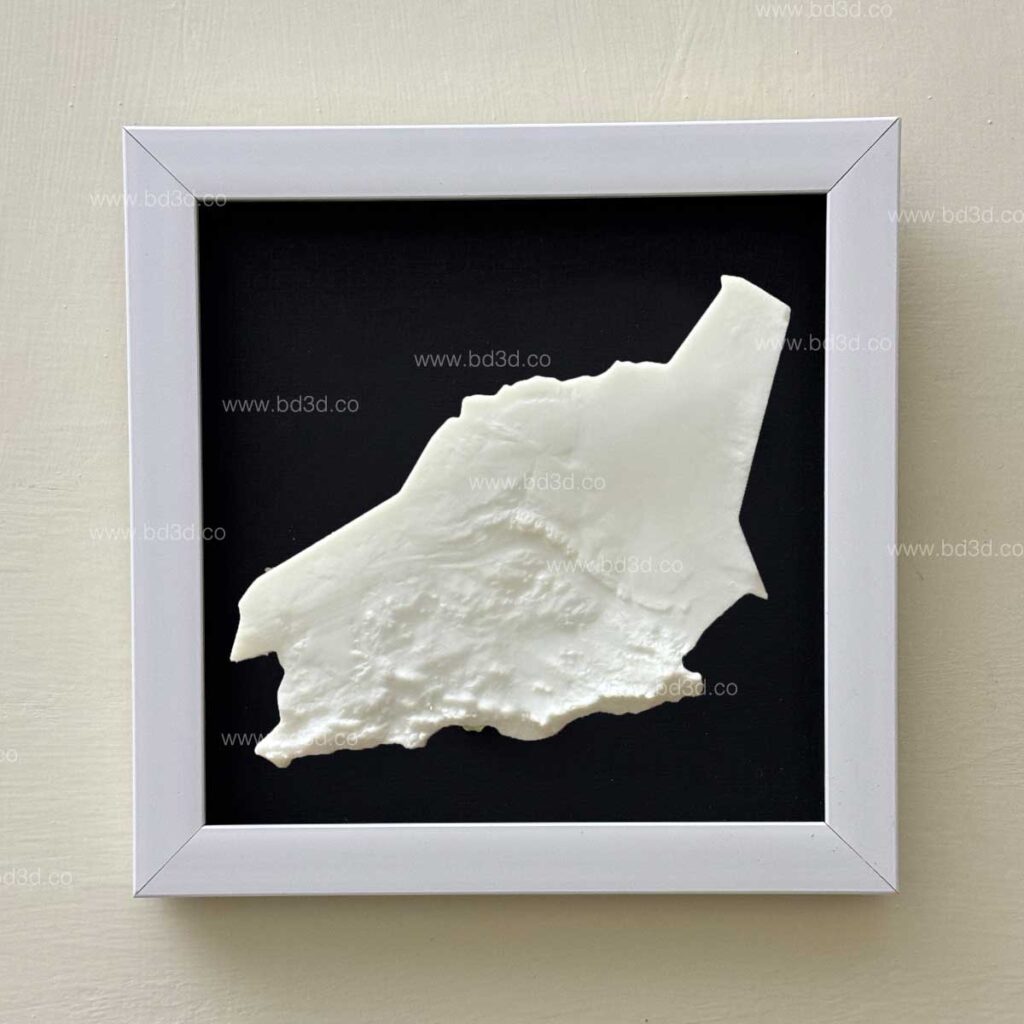
A Saudi Arabia 3D Map is a physical, scaled representation of the country that accurately reflects its terrain, elevation, and spatial structure. When produced as 3D Architectural Models, these maps visually represent:
- Major cities such as Riyadh, Jeddah, Dammam, and NEOM
- Mountain ranges including the Sarawat Mountains
- Vast deserts like Rub’ al Khali (Empty Quarter)
- Red Sea and Arabian Gulf coastlines
- Key infrastructure corridors and development zones
Unlike decorative maps, these models are created using real satellite-based elevation data, verified geographic references, and scaled cartographic information, ensuring professional accuracy and long-term value.
Growing Demand for Saudi Arabia 3D Architectural Models
Saudi Arabia’s rapid transformation under Saudi Arabia Vision 2030 development projects has significantly increased the need for advanced visualization tools.
Common Challenges Solved by Saudi Arabia 3D Architectural Models
Organizations across sectors struggle with:
- Explaining large-scale national and regional projects
- Visualizing terrain constraints for infrastructure
- Presenting geographic data to non-technical stakeholders
- Teaching Saudi Arabia’s geography effectively
A Saudi Arabia 3D Map built with 3D Architectural Models provides a clear, physical solution to all these challenges.
How BD3D Creates Accurate Saudi Arabia 3D Maps
BD3D is not a generic supplier. It is a specialized 3D Architectural Model Making Company focused on accuracy, durability, and real-world usability.
Data-Driven Model Development
Each Saudi Arabia 3D Map is produced using:
- Satellite-based elevation data
- Verified geographic and topographic references
- Scaled cartographic mapping
- Infrastructure and terrain datasets
This ensures that every 3D Architectural Model reflects real-world conditions rather than artistic approximations.
Precision Manufacturing Process
BD3D combines modern technology with expert craftsmanship, including:
- High-resolution 3D printing
- CNC machining for terrain accuracy
- Skilled hand-finishing for detail and strength
This hybrid approach produces clean, long-lasting, and visually impressive models suitable for professional use.
Problem-Oriented Use Cases for Saudi Arabia 3D Maps
Instead of focusing on tools, let’s focus on real problems these models solve.
Urban Planning & Mega Projects Using Saudi Arabia 3D Maps
Problem:
Mega developments cover vast areas, making scale and terrain difficult to communicate.
Solution:
A Saudi Arabia 3D Map using 3D Architectural Models helps planners and stakeholders:
- Understand spatial relationships
- Visualize development impact
- Communicate plans clearly and confidently
Education & Research Institutions
Problem:
Students and researchers struggle to understand Saudi Arabia’s diverse geography.
Solution:
3D maps improve learning by:
- Making elevation and terrain visible
- Linking geography with climate and population
- Increasing engagement and retention
Corporate & Government Offices
Problem:
Flat visuals fail to represent national scale and ambition.
Solution:
Professionally crafted 3D Architectural Models elevate:
- Boardroom presentations
- Government briefings
- Exhibitions and public displays
Display and Presentation Value of Saudi Arabia 3D Maps
These models are not only functional; they are also visually powerful.
Ideal Display Locations
- Government buildings
- Corporate headquarters
- Universities and research centers
- Museums and exhibitions
- Infrastructure and real estate firms
Their physical presence makes discussions clearer, faster, and more impactful.
Customization Options Offered by BD3D
Every organization has unique requirements. BD3D provides on-demand customization to meet specific goals.
Custom Features Available
- Multiple size options (compact to large-scale)
- Deep frames or tabletop displays
- Color-coded regions and cities
- Custom labeling and branding
- Modular or sectional models
These options ensure the 3D Architectural Models match both functional needs and visual expectations.
Why BD3D Is the Right 3D Architectural Model Making Company
Choosing the right partner matters. BD3D stands out for its problem-solving approach and technical expertise.
What Sets BD3D Apart
- Specialization in geographic and architectural models
- On-demand manufacturing flexibility
- Skilled engineers and craftsmen
- Consistent accuracy and quality
- Experience serving global clients
BD3D focuses on solutions, not just models.
Saudi Arabia 3D Map vs Traditional Maps
| Feature | Traditional Maps | 3D Architectural Models |
|---|---|---|
| Terrain Visibility | Flat | True 3D elevation |
| Spatial Understanding | Limited | High clarity |
| Professional Use | Basic | Advanced |
| Customization | Minimal | Fully customizable |
| Impact | Low | High |
For serious applications, 3D Architectural Models provide unmatched value.
Future Demand for 3D Architectural Models in the Middle East
With continued investment in:
- Smart cities
- Transportation infrastructure
- Tourism and cultural projects
- Environmental and urban research
The demand for Saudi Arabia 3D Maps and 3D Architectural Models will continue to grow as organizations seek clearer, more reliable ways to understand and communicate geography.
Final Thoughts: Turning Saudi Arabia’s Geography into Clarity
A Saudi Arabia 3D Map created as a 3D Architectural Model is more than a visual element; it is a strategic communication tool. It transforms complex geography into clear, tangible understanding.
By combining accurate data, expert craftsmanship, and a problem-oriented design approach, BD3D helps organizations visualize Saudi Arabia with confidence and precision.
If your institution or business needs a reliable, high-quality 3D Architectural Model of Saudi Arabia, BD3D has the expertise to deliver it, on demand.